expanding the science of river ecology
Banner photos: 1st photo, Saint Johns River, Florida, USA. 2sd photo, Caquetá River, Colombian Amazon. Credit to Sandra Bibiana Correa.
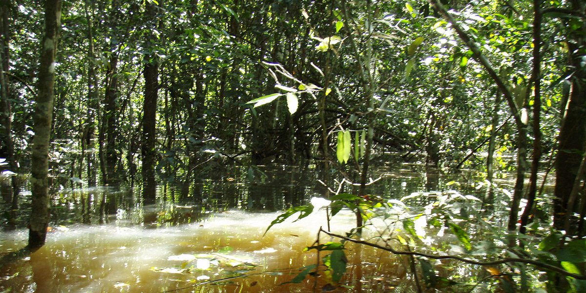
Flooded Forests are periodically inundated by overbank flow or lateral channels and tributaries. The water that comes and goes drives the life cycles of plants and animals in this ecosystem. Our lab is assessing the role of river floodplain forests as keystone ecosystems for aquatic biodiversity.
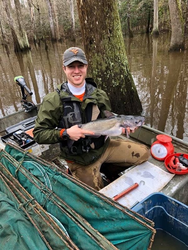
Bottomland Hardwood Forests used to cover enormous expanses of riverine floodplain habitat in the Southeastern USA. Deforestation over the last two centuries, coupled with hydrological modifications that alter natural flooding regimes, decimated these forests and nowadays approximately a tenth of their original extent remains. Current research in our lab investigates energy and nutrient flows across the floodplain terrestrial – aquatic transition zone, from the headwaters of the Pascagoula River to its estuary on the Northern Gulf of Mexico. Located in Southern Mississippi, the Pascagoula is the last functional floodplain-river system in the contiguous United States. Conservation initiatives led to preserving its natural hydrological regime and continuous floodplain forests along the river mainstem. In fact, there are numerous protected areas within the river drainage including six wildlife management areas, one National Forest, one National Wildlife Refuge, and one Coastal Preserve. These characteristics make the Pascagoula an ideal system to link floodplain forests to fish biodiversity and productivity as a first step toward reaching a mechanistic understanding of the role of floodplain forests as drivers of biodiversity in the Northern Hemisphere.

Our lab sampled nearly 1,500 fishes, which revealed that 51 fish species inhabit the main channel of the Pascagoula River and its forested floodplain during the dry (summer) and flood (winter and spring) seasons. Interestedly, flooded forests harbor a distinctive and more taxonomically and functionally diverse fish assemblage relative to the river channel. During the dry season, habitats within the forested floodplain such as sloughs, oxbow lakes, and canals remain flooded and provide high-quality habitat for fish as demonstrated by observed levels of dissolved oxygen and nitrates comparable to those in the river channel. The average depth inside flooded forest habitat during the dry season was 1.3 m. A remarkable finding was that large fish use the flooded forest during the dry season as climate refugia when they escape from the warmer water in the main river channel during the hot Mississippi summer.
Interestedly, seasonal flooding facilitates the longitudinal movement of fishes across floodplain habitats throughout the entire 100 km river reach. Our diet analyses demonstrated that fish consume various foods within the flooded forest, including terrestrial insects. Crayfish, however, seems to be a staple in the diet of many predatory fishes during the flood season. We are using biomarkers to build a food web for the Pascagoula.

In Amazonian Flooded Forests, our past research revealed direct and indirect links between terrestrial and aquatic food webs. A dramatic change in the water level of over 9 m in depth lasting more than 6 months facilitates the lateral migration of fishes into flooded forests to take advantage of the enormous amounts of ripe fruits that have a peak of production during the flood season. Canopy invertebrates also are a key component of fish diets as flooding causes a vertical migration of terrestrial insects and other arthropods to the forest canopy. Most of these invertebrates lack an aquatic phase and feed on forest leaves. These findings demonstrate that fruits and canopy invertebrates, directly and indirectly, link forests and fishes by providing energy and protein to maintain fish metabolism and growth.